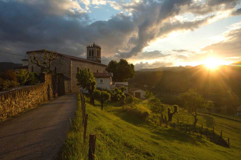
Prades and the Salyndre valley
PRADES
Prades and the Salyndre valley
Medium
3h
8,8km
+338m
-339m
Loop
PR
Embed this item to access it offline
This green and rolling valley will charm you. An agricultural past where man transformed the landscape. You will discover low walls, béalières and calades.
1 point of interest
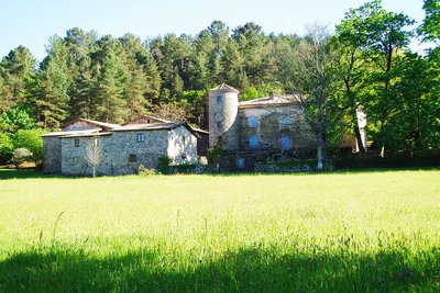
Façade du château de Montseveny - OT-ASV  Historical and religious heritage
Montseveny castle
The current castle is an ancient fortified house built in the beginning of the 17th century for Gilbert Vincenti, an officer that served the lord of Ventadour. The castle has been registered as a historical monument since 2001. This building is a good example of fortified houses of residential architecture with defensive attributes that evolved in a pleasure house.
Description
- Departure point from the hikes info board at the village square. Take RD 323 and then continue to Margoulier hamlet.
- Take the road on the left in Brousse direction and after 100m take a path to Montférou col.
 You are now at Montférou pass, follow « Lentillères 2.5km » pannel. Follow the way on the right to the village hamlet. Montférou is composed of two occitan words : « Mont » : mountain and « Fero » (férou) : very irritate, furious. Does this mount attract the lightning ?
- At the village hamlet follow the « Prades 6.4 km » pannel.
- You are now at « les Perringues », follow the « Prades 6km » pannel and go on the track for 900m. Splendid view on the Salyndre valley and the Hautes Cévennes mountains.
- Take the path that goes down to the right.
- At the intersection, take right to the RD 323. Cross the RD 323 and take the « Rivier » path.
- After the Rivier hamlet follow the road and after the cross take right. Continue the way following the signs to the village centre to reach back the starting point.
- Departure : Village square
- Arrival : Village square
- Towns crossed : PRADES and LENTILLERES
Forecast
Altimetric profile
Recommandations
The loop is delineated by yellow and white painting.
Information desks
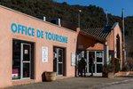
Tourism Office
2 place du Bosquet, Neyrac les Bains, 07380 Meyras
Access and parking
From Aubenas, take the N102 to Lalevade d’Ardèche. At the roundabout take left direction Prades. From the est or the north, on the N102 take the D5 after Neyrac-les-Bains. Once in Jaujac, take Lalevade d’Ardèche direction. Road down for 5 km and take Prades direction on the right.
Parking :
Village square
Report a problem or an error
If you have found an error on this page or if you have noticed any problems during your hike, please report them to us here: