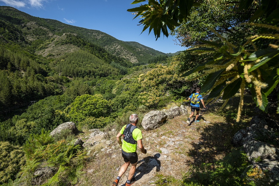
Beaume Drobie blue trail
VALGORGE
Beaume Drobie blue trail
Medium
3h
20,3km
+897m
-897m
Loop
Trail
Embed this item to access it offline
Description
P – From the car park, follow the trail signs  . For this circuit, follow the blue dots (20) on the signs along the route.
- Departure : Salle de la Pourette, Valgorge
- Arrival : Salle de la Pourette, Valgorge
- Towns crossed : VALGORGE, LOUBARESSE, and DOMPNAC
Forecast
Altimetric profile
Sensitive areas
Along your trek, you will go through sensitive areas related to the presence of a specific species or environment. In these areas, an appropriate behaviour allows to contribute to their preservation. For detailed information, specific forms are accessible for each area.
Natura 2000 Massif du Tanargue, sources de l’Ardèche et de la Borne
- Impacted practices:
- All practices
- Contact:
Recommandations
This circuit is also accessible for walkers.
Information desks

Office de tourisme des Cévennes d'Ardèche
Joyeuse/Les Vans
Transport
Let's limit car travel, think about public transport and carpooling. All public transport on transports-region-auvergne-rhone-alpes
Access and parking
From Les Vans (38 km) reach Joyeuse (24 km) and follow the D203 towards Valgorge.
Parking :
Salle de la Pourette, Valgorge
Report a problem or an error
If you have found an error on this page or if you have noticed any problems during your hike, please report them to us here: