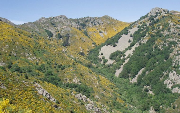
The barn trail
Connecting the Ardeche mountains and the Ardeche Cevennes, the Tanargue (meaning God of Thunder) offers a breathtaking view over the Beaume and Drobie valleys.
Description
P – Village Square. Follow La Grangette 7,1 km, La Croix de Bauzon 9,6 km. Opposite the signpost, take the steps on your left and head towards the glass house. 300m further on, take the path on the right that heads north. After the second ruined barn, cross the stream and walk along the right bank under the hazel trees for about 300m. Cross the stream again using the stepping stones, take two hairpin bends and then head downhill through an oak forest. A short downhill passage leads to a third crossing, followed by a slope to the south that takes you to the Pialade ridge. The trail twists through the broom to reach a slightly marked pass to the west of a large beech forest from where a sheep shed is visible. A short stretch of track leads to the Anglanier stream, which you cross. In a few zig-zags, the path crosses the Redonde plain to emerge 40m higher on a track above the Ranc des Barres. Continue on this track to Rocher des Barres.
-
 Le Rocher des Barres - Follow Col des Langoustines 4,4 km, La Souche 8,2 km via the Tour du Tanargue GRP (long distance footpath) par le GRP tour du Tanargue (
). Come back via the crest of the Tanargue.
(N.B. In stormy or snowy weather, it’s better to go back the way you came!)
After a short climb, cross a second plain, then a third with a more marked pass on the north side. Follow a stony track in a steep slope towards Cros de l'Aygue. -
 Cros de l'Aygue - Follow Laboule 6,4 km. Leave the GRP and take (
 ), the DFCI (forestry wildfire prevention) track that leads to Cebeyres
 Les Cebeyres - Follow Laboule 0,4 km to return to the village.
This is a mountain trail and can cause orientation problems on the summits in foggy weather.
In stormy or snowy weather, it’s better to go back the way you came.
Please watch out for herds of sheep on the Tanargue’s summer pastures – avoid bringing your dog, or keep it on a lead.
- Departure : Laboule, Village Square
- Arrival : Laboule, Village Square
- Towns crossed : LABOULE and LA SOUCHE
Forecast
Altimetric profile
Sensitive areas
- Impacted practices:
- All practices
- Contact:
Recommandations
This is a mountain trail and can cause orientation problems on the summits in foggy weather.
In stormy or snowy weather, it’s better to go back the way you came.
Please watch out for herds of sheep on the Tanargue’s summer pastures – avoid bringing your dog, or keep it on a lead.
Information desks
Office de tourisme des Cévennes d'Ardèche
Joyeuse/Les Vans
Transport
Access and parking
From Joyeuse (23 km) follow Valgorge then Laboule.
Parking :
Report a problem or an error
If you have found an error on this page or if you have noticed any problems during your hike, please report them to us here:
