Interpretive path of the Naves Cirques
LES VANS
Interpretive path of the Naves Cirques
Medium
3h
3,7km
+202m
-202m
Loop
Yellow markup
Embed this item to access it offline
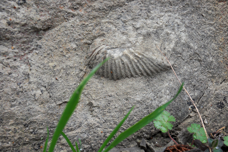
Along a route rich in amazing viewpoints and panoramas, the path of the Naves Cirques will enable you to discover gorgeous, unspoilt landscapes, between the Cévennes slopes and mediterranean maquis. This loop crosses a calcareous zone compiling 18 million years of the Earth history, and brings you close to the Massif Central's metamorphic areas, 500 million years old. These two sets have exceptionally been brought into contact by a geological fault: the Orcières Fault. All this geological history, with its consequences on buildings, fauna, flora and agriculture, will be explained through 11 stopping places with interpretive boards to combine a pleasant hike and recreational learning.
Description
- From the cemetery parking lot, the path starts on the right and climbs towards the Serre du Cocu (cuckold ridge) where a first stop will allow you to enjoy the Naves Cirques, and where you will find the first interpretive board about Jurassic limestone and marl. Continue on the path up to the reservoir above the cemetery. A new board is waiting for you.
- Continue on the path along the side of the Serre du Cocu. (new board on the Serre de Barre) up to a pass from which the view on the Chassezac Valley is stunning.
- At the crossways, turn right up to the Alauzas road where you will find stops 5 and 6, presenting the Orcières Fault and a stratigraphic cross-section.
- Follow the tarmacked road on your left up to the hamlet. On your way, admire the gorgeous chesnut grove (stop 7).
- At the hamlet, take the path on your left. Carry on straight ahead. Stop 8 is about terraces and water management on the slope. The path goes downhill towards Naves, first through a chesnut grove, then in a coniferous undergrowth. Lower, those plants give way to maquis (stop 9). After stop 10, devoted to karst, the path goes out of the woods onto an overhang above the Bourdaric Brook (be very cautious!). Continue leisurely your way down towards Naves (stop 11), while enjoying the sights on the village and Southern Ardèche.
- Take some time to tour Naves, a pleasant typical village with authentic narrow streets, then take the tarmacked road again down to the cemetery parking lot, your starting point.
- Departure : In front of the cemetery, take the path going uphill on the right, with a Geo totem pole. Markings : PR (short-distance path)
- Arrival : Parking du cimetière, Naves
- Towns crossed : LES VANS and GRAVIERES
Forecast
Altimetric profile
Sensitive areas
Along your trek, you will go through sensitive areas related to the presence of a specific species or environment. In these areas, an appropriate behaviour allows to contribute to their preservation. For detailed information, specific forms are accessible for each area.
Natura 2000 et ENS Landes et forêts du bois des Bartres
- Impacted practices:
- All practices
- Contact:
Recommandations
Le feu est interdit. Pas de points d'eau sur l'itinéraire. Attention, soyez bien chaussés car le sentier, globalement facile, présente quelques passages étroits et techniques.
Carte IGN 2838 OT
Transport
Limitons les déplacements en voiture, pensons aux transports en commun et au covoiturage. Tous les transports en commun sur transports-region-auvergne-rhone-alpes
Access and parking
Naves
Parking :
Parking du cimetière, Naves
Source
Report a problem or an error
If you have found an error on this page or if you have noticed any problems during your hike, please report them to us here: